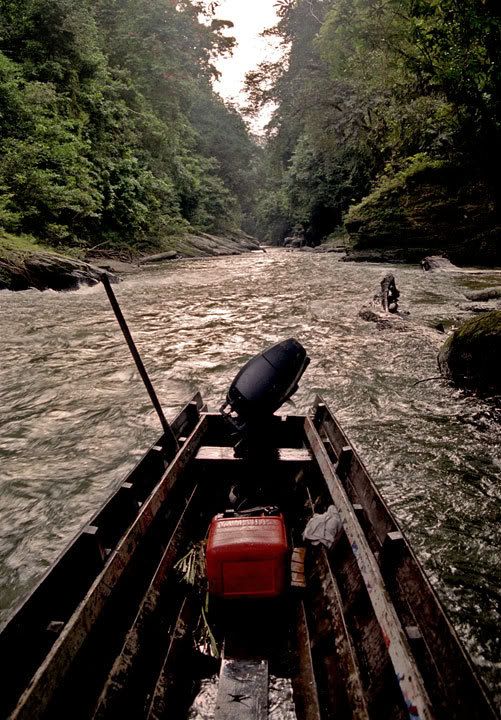
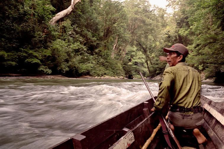
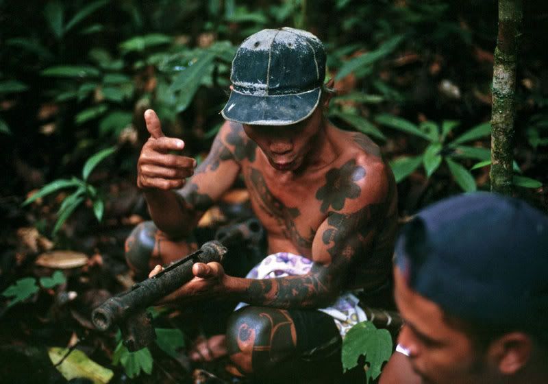
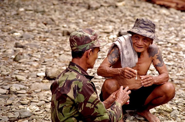
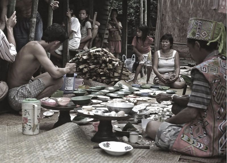
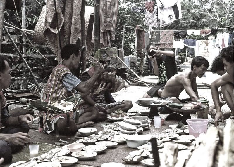
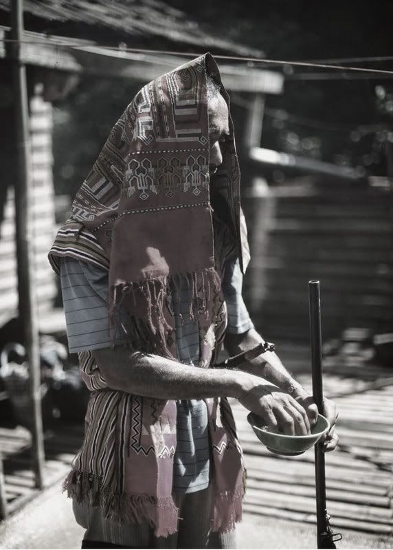
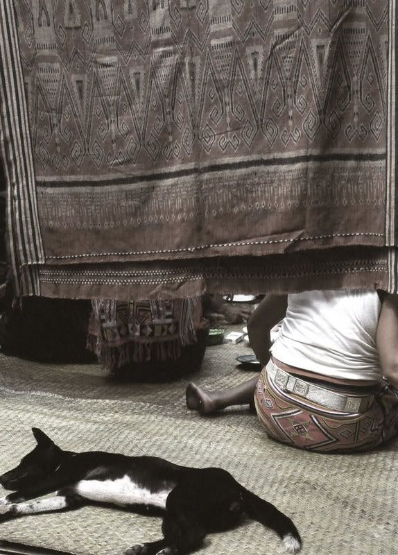
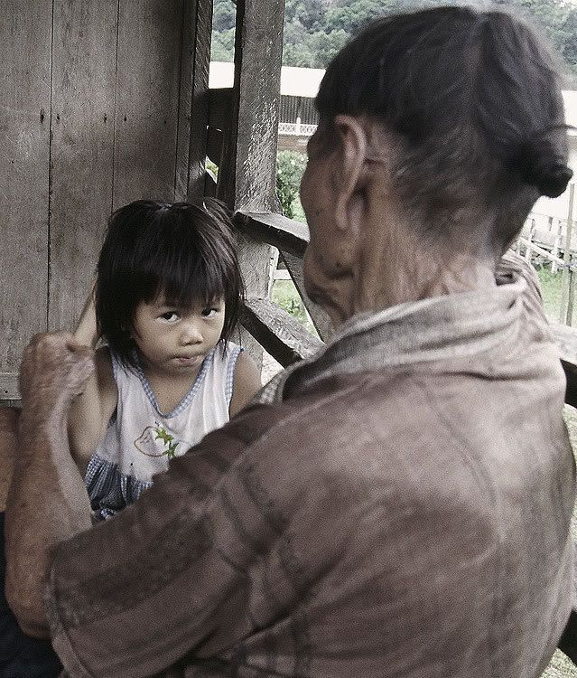
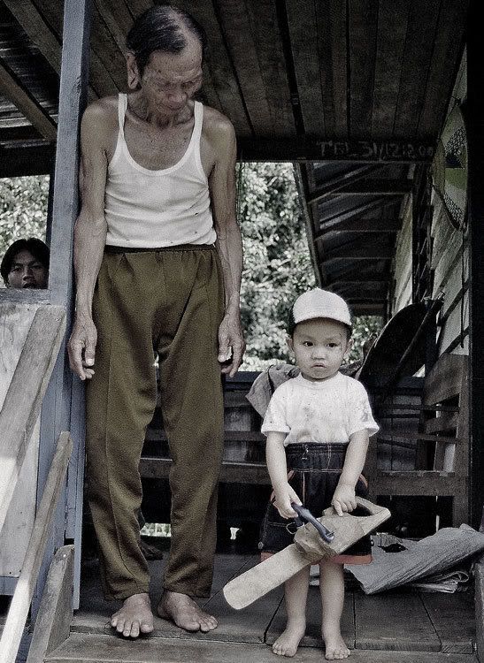
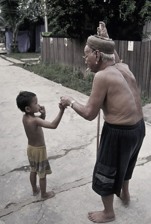
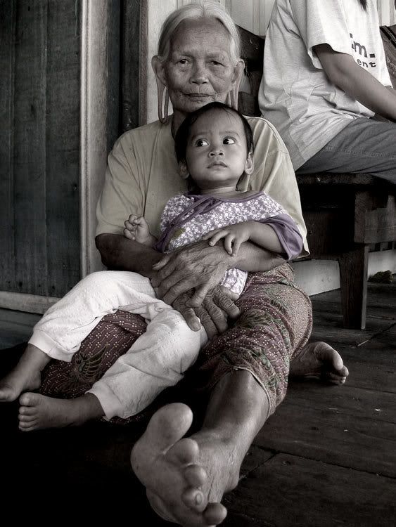
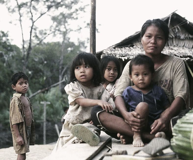
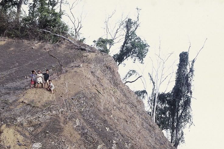
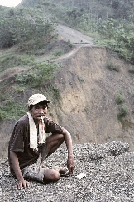
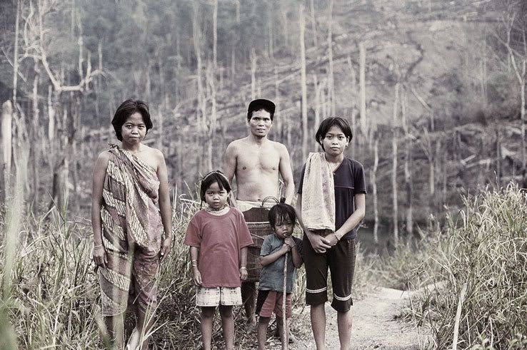
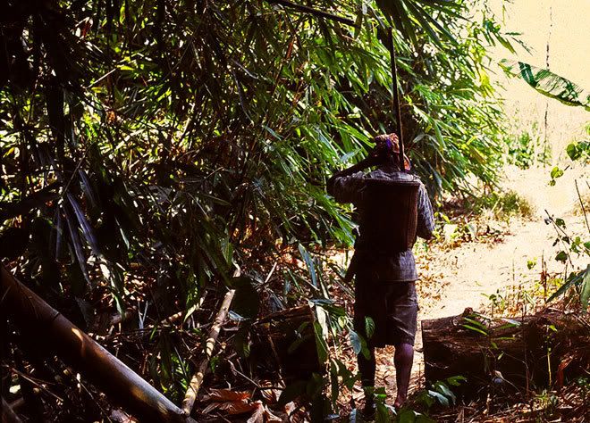
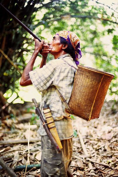
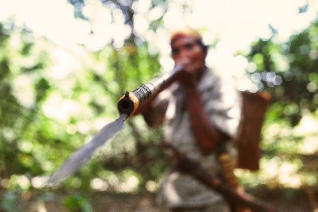
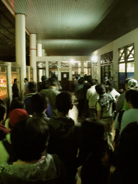
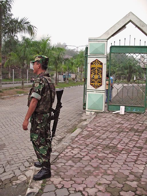
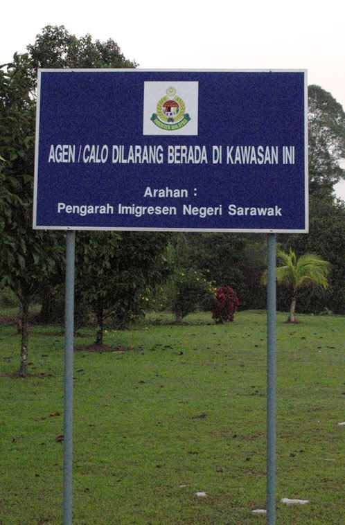
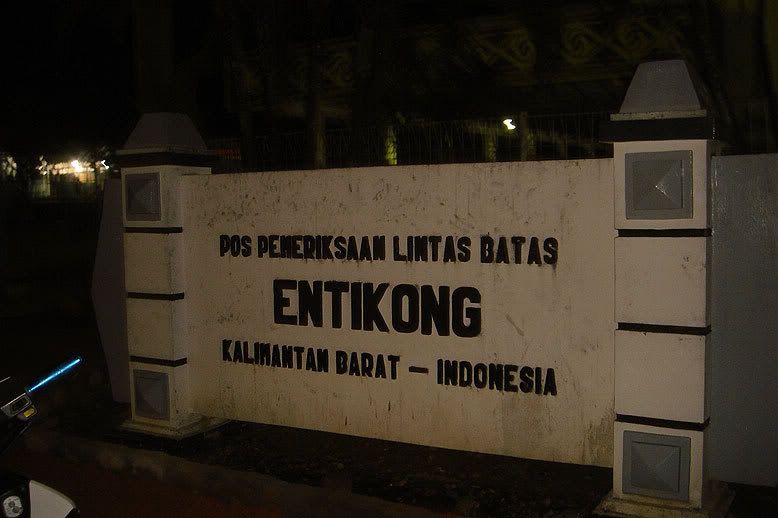
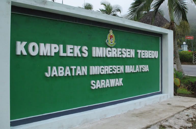
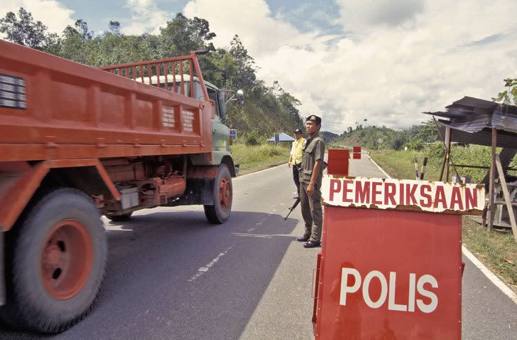
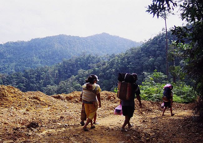
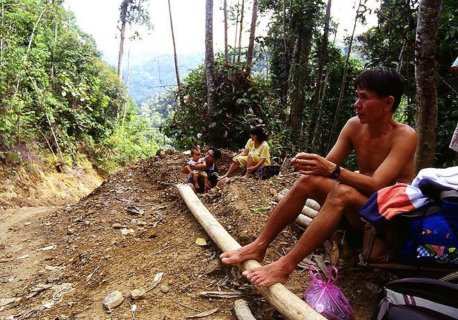
Wednesday, June 13, 2007

INTRO


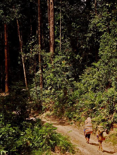
A collection of personal photographs taken throughout the island of Borneo (Malaysian Sarawak & Indonesian Kalimantan) during travels and research fieldtrips (started since 1997). Though being results of something that started as a triviality, only later I realized that these photos have inadvertendly captured the changing face of the island.


Sebuah koleksi foto-foto pribadi yang diambil di pulau Kalimantan (Negeri Bahagian Sarawak di Malaysia dan Provinsi-provinsi Kalimantan di Indonesia) selama perjalanan-perjalanan dan penelitian lapangan yang telah dimulai sejak 1997. Berawal dari kegiatan sampingan, baru belakangan saya sadari bahwa foto-foto ini bisa sedikitnya mengungkap berbagai perubahan yang mengubah wajah pulau ini.

BORNEO / KALIMANTAN: Political Divisions

Map (p) 2002 by dlumenta, generated using SRTM data (by NOAA)
processed through 3DEM & MapInfo v. 7.5


Tuesday, June 12, 2007

THE BATANG KANYAU IBAN AROUND BETUNG KERIHUN NATIONAL PARK (I)

Photo Sharing and Video Hosting at Photobucket
Location: Betung Kerihun National Park, Upper Kapuas District, West Kalimantan (Indonesia)
Date: Dec. 2000 - Jan. 2001, May 2002

Nikon FM-2 (film: -, ASA: 200)


Betung Kerihun National Park (Taman Nasional Betung Kerihun - or TNBK) in Kapuas Hulu District, West Kalimantan, stretches along the Kalimantan - Sarawak border, spanning the vast distances between the Embaloh (or in Iban, Batang Kanyau) river in the west to the Upper Kapuas to the east.

Illegal logging within the park (which implicated a vast transnational network involving Sarawakian timber moguls, local politicians and Ibans) became a major concern nationally between 2002 - 2005. These pictures were taken in 2000, barely one year before illegal logging became rampant.


Struggling up the Tekelan river to the Gerugu Naris gorges (far right).


The upper Batang Kanyau became the frontline of border battles fought during the 1963-66 Indonesia-Malaysia Confrontation, followed by counter-insurgency operations against the remnants of the communist PARAKU (Pasukan Rakyat Kalimantan Utara) from 1967 to 1992. Iban support as porters, rowers or guides was crucial to the success of all military operations to both warring sides in the area.


As recently as 2002, weapons and ammunition dumps were still found deep inside the Park. The late Apai Linggong ak. Sandom (1940-2003) shows a recently discovered British-made Stengun (top below), while Panglima Jimbau and Apai Jayang (far below) reminisce about their involvement in the 1967-68 anti-PARAKU operations.

Photo Sharing and Video Hosting at Photobucket

Labels: , , ,

THE BATANG KANYAU IBAN AROUND BETUNG KERIHUN NATIONAL PARK (II)

Photo Sharing and Video Hosting at Photobucket
Location: Kelayam village, Kapuas Hulu District, West Kalimantan (Indonesia)
Date: June 2002.
Nikon FM-2, (film: +; ASA: 100)


GAWAI IBAN

Gawai Iban, or the Iban rice harvest ceremony (linking the old and new agricultural cycles) is celebrated throughout the Iban areas of West Kalimantan & Sarawak, which usually falls around June or July (and made a national holiday in Sarawak). It is the most important event of the year, marking the return of every Iban (especially Iban working migrants) to their respective villages.


Ijuk, or rice wine, is a primary treat in the longhouse (L), while rendai (rice crispies) and eggs make up the essential offerings to the spirits (center), while the chicken is the standard medium in besampi prayers (R)


Rendai is being thrown outside the longhouse to appease the spirits (L), old traditional Iban weaving cloth (Pua Kumbu) many over 100 years old, are put on display (center), while reading a pig's liver makes an essential reading to forecast life events during the next agricultural cycle (R)


Photo Sharing and Video Hosting at Photobucket
Apai Kunyan doing a Ngajat (Iban dance) to bring the vividness of his Entelah (traditional Iban riddles) to life.


Labels: , ,

Wednesday, May 16, 2007

BORNEO'S FUTURE CHILDREN


Two generations in their brief lifetime encounters....one that witnessed the waning days of gutta-percha warfares, colonial Tuans, headhunting or Konfrontasi, embracing those that may have to deal someday with the aftermath of Borneo's final victimization of global corporatist greed...

Locations:
Long Mekaba (Sarawak), Nawang Baru, Jenggeru, Long Bagun (East Kalimantan), Kelayam (West Kalimantan)
Dates: 2002-2005


(Note the wooden toy in the second picture - a mock STIHL chainsaw.)


THE BUKIT BURAQ MATO COMMUNITY


The Bukit Buraq Mato community inhabit the borders of East and South Kalimantan, on the fringes of the eastern part of the Meratus Range. Based on local sources, the community identifies its linguistic links with other Meratus communities, such as the Dusun Balangan and to some extent the Dusun Deyah in neighbouring South Kalimantan, which brings us to a conclusion that they are a part of the larger Luangan – Ma’anyan – Paser speaking population.* However, longstanding contact with the Banjarese population has also prompted the assimilation of Banjarese language into the local dialect.

The local economy is based on subsistence farming on swidden rice fields in a rugged terrain setting, a practice the developmentalist Indonesian government attempted to eradicate in the early 1980s with little success . Additional sources are derived from small-scale cash crops such as rubber, coffee, kemiri and beeswax, usually sold in small quantities to nearby local markets in Halong and Sengayam in South Kalimantan. Recently, logging fees from logging companies constitutes additional cash sources through which new oil-dependent consumer patterns emerge (such as the purchase of TVs and VCD players).

* Personal email communication w/ Kenneth Sillander (2002)

Location: Muara Andeh village, Pasir district, East Kalimantan
Date: October 2002


Photo notes:
Landslides destroyed the local mining road, forcing the Buraq Mato community back into economic isolation. A typical problem throughout Borneo is the overcoming of physical isolation of remote communities once mining or logging companies shut down operations. Once the companies pack up, so does the maintenance of roads.


Apah Kangui, the Buraq Mato Adat chief, with his blowpipe.


Labels: ,

Monday, May 7, 2007

CROSSING BORNEO BORDERS

THE LEGAL ENTRY FROM KALIMANTAN INTO SARAWAK

Location: Entikong (Sanggau District, West Kalimantan) & Tebedu (Kuching Division, Sarawak)
Date: March, 2007


The official border checkpoints at Entikong (West Kalimantan) and Tebedu (Sarawak) opens daily at 5 AM (or 6 AM Eastern Malaysian time. Officially opened in 1991, it is Indonesia's first regulated landborder crossing point - with at least 8 transnational buses commuting daily between Pontianak and Kuching.


===============================================================

THE SOMEWHAT LEGAL ENTRY FROM KALIMANTAN INTO SARAWAK

Location: 15 kilometers outside Lubok Antu, Sri Aman Division, Sarawak
Date: March, 2003


A police checkpoint outside the bordertown of Lubok Antu (Sarawak). When this photo was taken (early 2003), access into Sarawak was only granted to those Indonesian borderlanders possessing the 'Pas Lintas Batas/PLB' (borderpasses). As PLB access into Sarawak was limited to visits within the perimeter border of the Lubok Antu sub-district (Daerah Kecil) area, police checkpoints like these were setup to prevent 'illegal' breaches of the perimeter.

For timber logs it's a different story. Log exports from West Kalimantan to Lubok Antu are officially banned by the Indonesian government, but smuggled timber enjoys immediate legalization once processed by Lubok Antu sawmills. Another task of the police here is to confirm the timber's virtual 'legality'.

A perfect illustration of globalisation's real intentions: shackle humans, liberate commodities.


======================================================

THE OLD 'HIGHWAYS' INTO SARAWAK

Location: The borderlands between Sarawak's Kapit Division & East Kalimantan's Malinau District.
Date: February 2003


This is the traditional route through which the Kenyah Dayaks of the Apokayan highlands in East Kalimantan, one of Indonesia's most isolated regions, go on their daily shopping sprees to logging camps inside Sarawak. Pictured here (center below) is a Kenyah family resting on the exact (but unmarked and unguarded) Malaysian - Indonesian boundary.


Labels: